
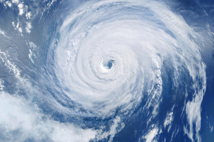

If you’ve been half-expecting a hurricane headline every time you check the news this September, you’re not imagining things — it’s the absence of headlines that’s actually the story this year.
As of September 10, 2026, not a single hurricane had formed anywhere in the Atlantic basin. That’s despite five tropical storms spinning up over the course of the season. For a stretch of the calendar that’s normally the busiest, scariest weeks of hurricane season, an entirely blank National Hurricane Center outlook map in mid-September is, by recent standards, almost unheard of.
A record-setting silence
September is historically when the Atlantic hurricane season peaks. Sea surface temperatures are at their warmest, atmospheric conditions are typically most favorable for storms to organize, and forecasters brace for the season’s most dangerous systems. Instead, 2026 is on track to break the satellite-era record for the longest wait for a season’s first hurricane — a record that has stood since ties in 2002 and 2013, when the first hurricane didn’t form until September 11.
The numbers behind the quiet are just as striking. Accumulated cyclone energy (ACE) — the metric meteorologists use to measure a season’s overall storm intensity and duration — is running at its slowest pace since satellite tracking began in 1966. Right now, the Atlantic’s ACE total looks more like a typical mid-July reading than what you’d expect at the height of September.
What’s actually causing it
The short answer is wind shear — and a lot of it.
Wind shear refers to changes in wind speed and direction at different altitudes, and it’s one of the most effective storm killers in a forecaster’s vocabulary. Strong shear can rip a fledgling tropical system apart before it organizes, or weaken a storm that’s already trying to strengthen. This year, an intensifying El Niño pattern has driven unusually strong shear across the Atlantic basin — and according to Colorado State University tropical scientist Phil Klotzbach, wind shear since July has been the strongest on record for that time of year dating back to 1979.
In other words: the ingredients for hurricanes (warm water) have mostly been there, but the atmosphere hasn’t been letting storms use them.
Does this match what forecasters predicted?
Somewhat. NOAA’s preseason outlook called for a below-normal Atlantic hurricane season, so the general direction isn’t a total surprise. What’s notable is just how far below normal activity has run, especially heading into what’s typically the most dangerous stretch of the year.
Is the season over? Not even close.
It’s tempting to read “record-quiet September” as “we’re in the clear,” but that would be a mistake. Some of the Atlantic’s most destructive storms in recent memory — including several major East Coast and Gulf Coast hurricanes — have formed in late September and October, when water temperatures are still warm enough to fuel rapid intensification even as shear patterns start to shift. Hurricane season officially runs through November 30.
What this means for you right now
A quiet stretch is a good moment to get (or stay) prepared, not a reason to let your guard down:
- Keep an eye on the outlook. The National Hurricane Center’s tropical weather outlook updates multiple times a day during the season.
- Don’t let a quiet September lull you into skipping prep. Review your insurance coverage, have an evacuation plan, and know your zone if you’re in a coastal area.
- Watch for scams if a storm does form. Disaster-recovery scammers tend to appear within days of any storm making landfall, often posing as contractors, inspectors, or government officials.